MYLOGO
Waterfalls


Locate Western Upper Peninsula waterfalls in our Google Attractions Map!
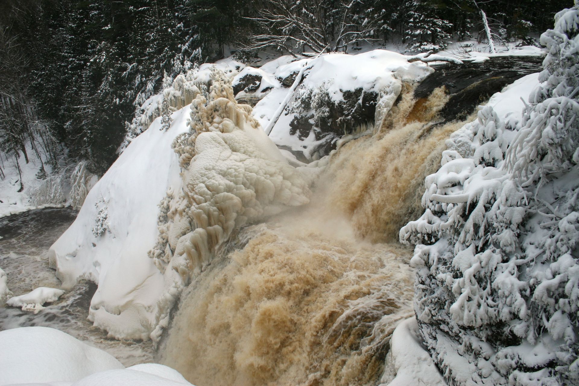
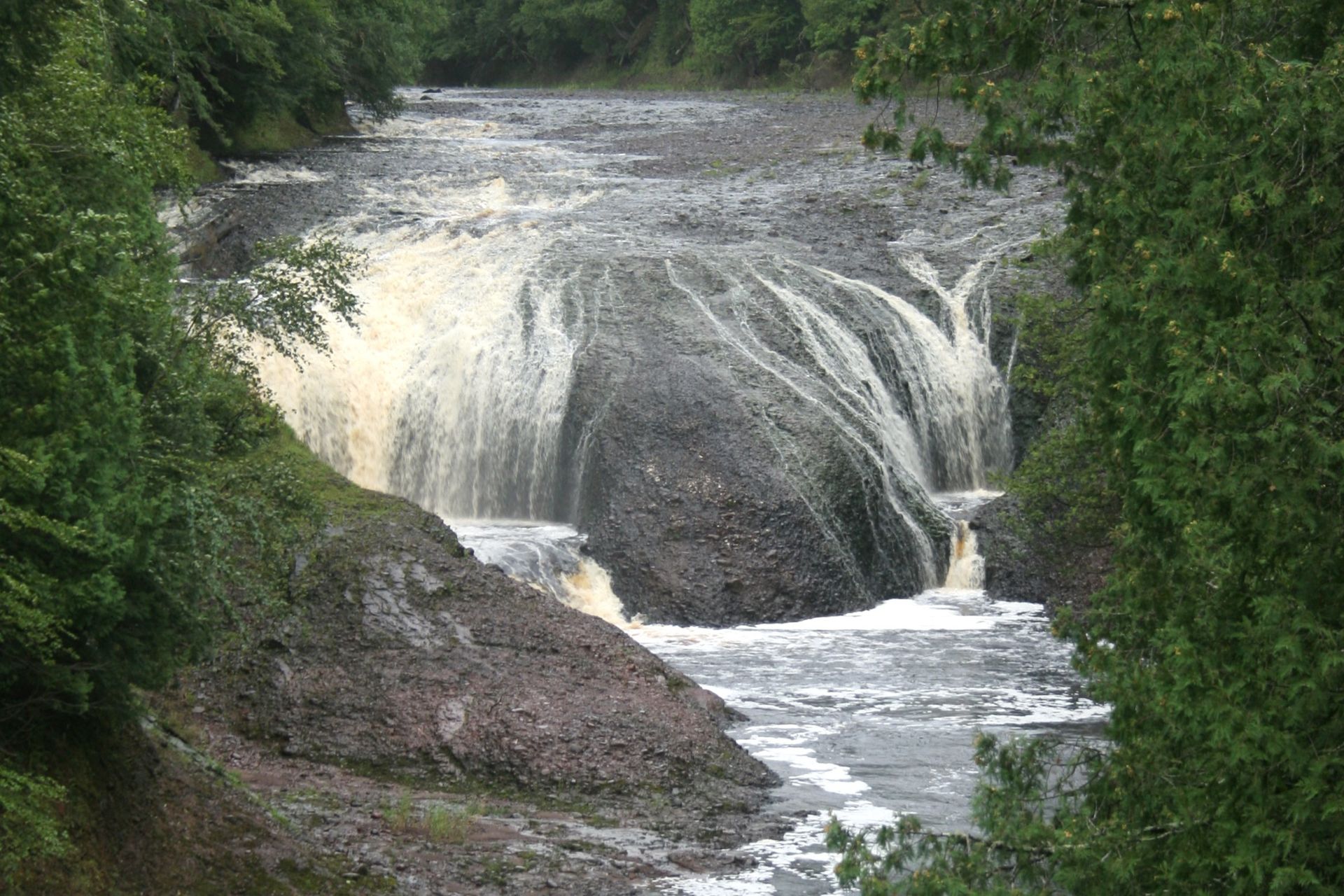
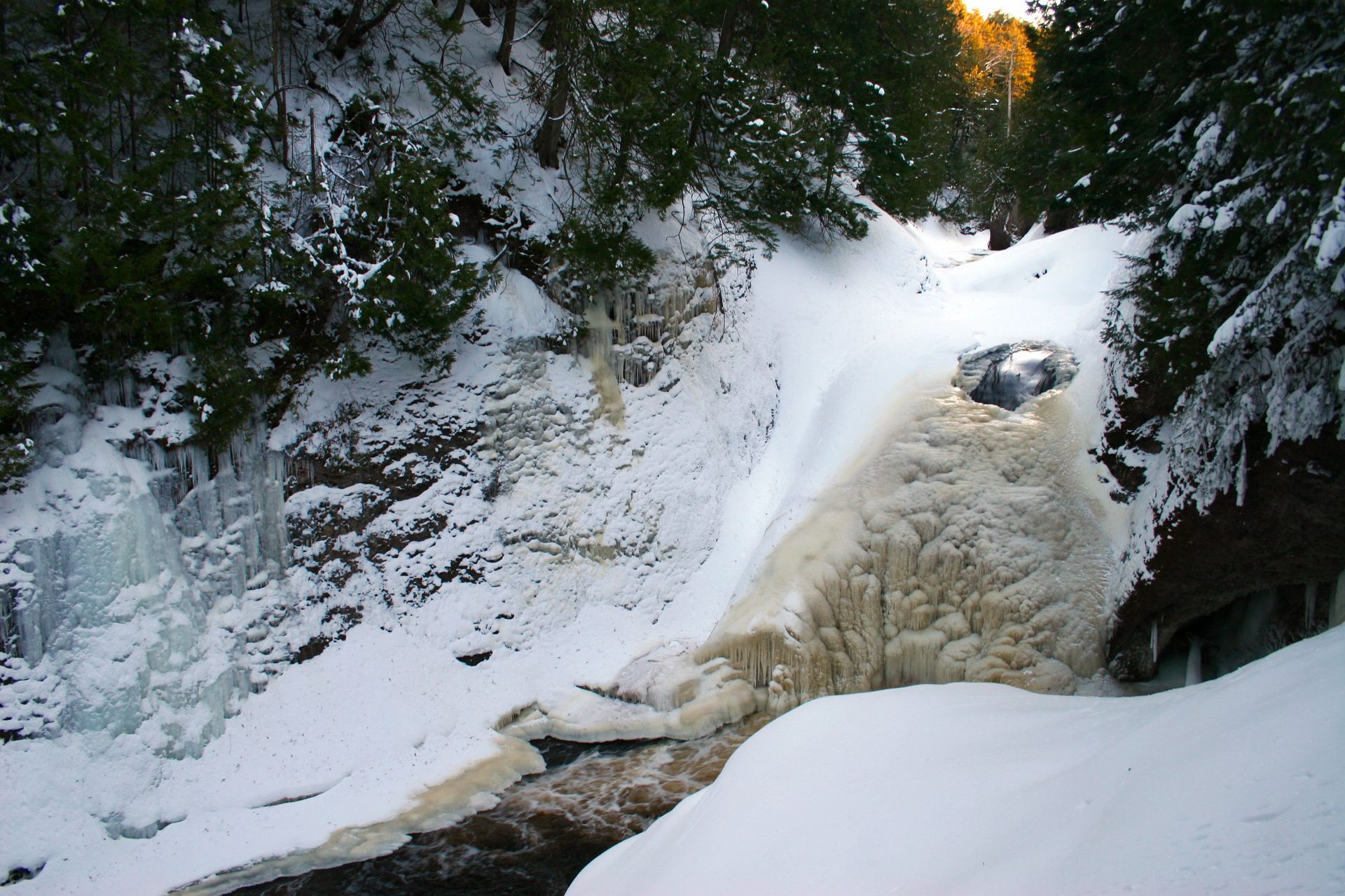
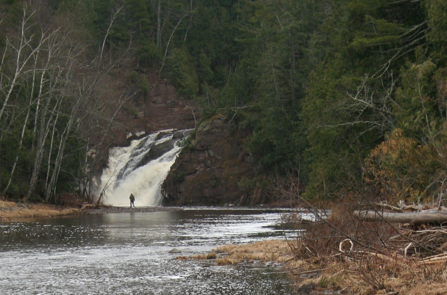
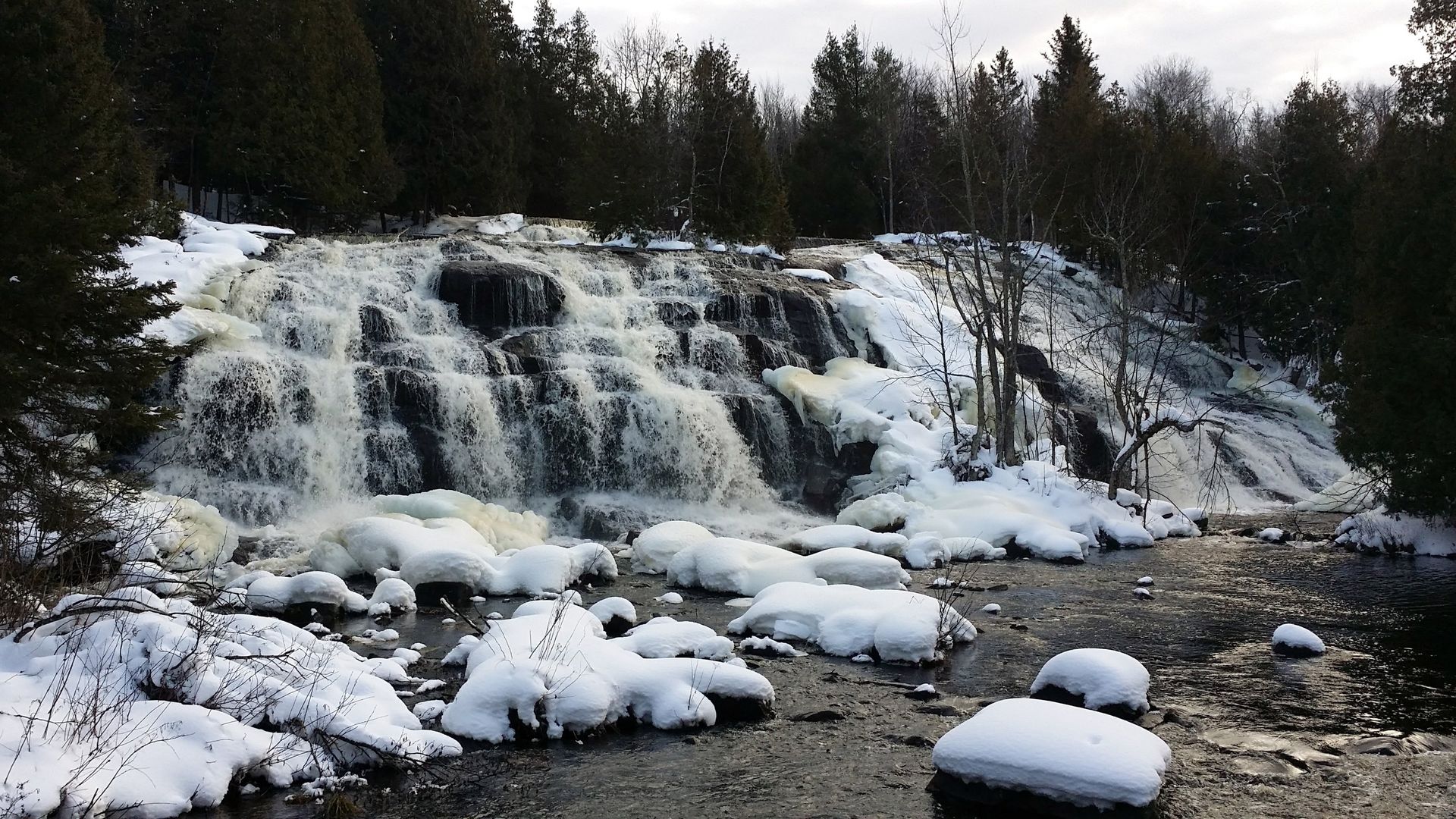
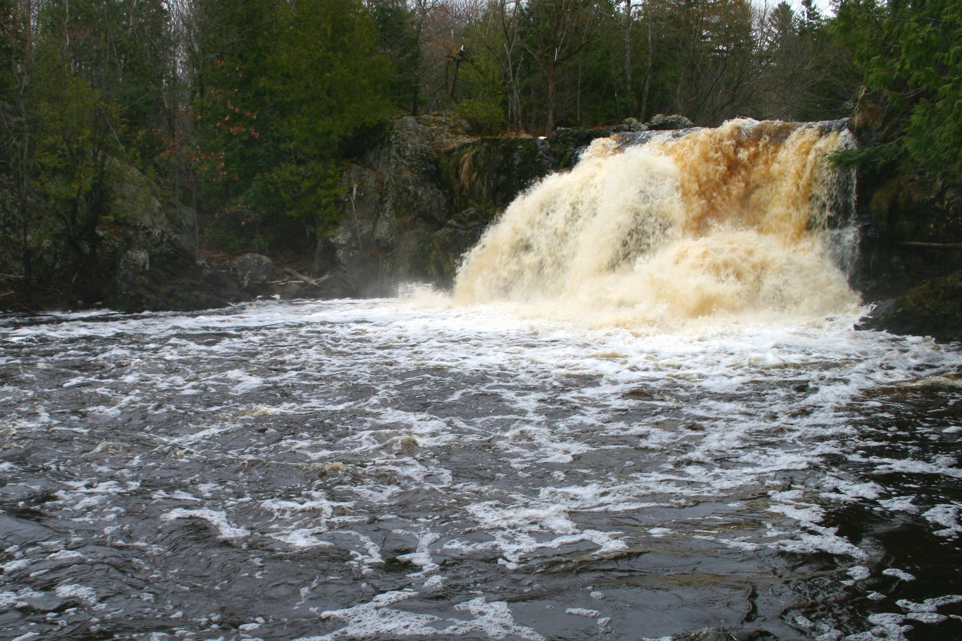
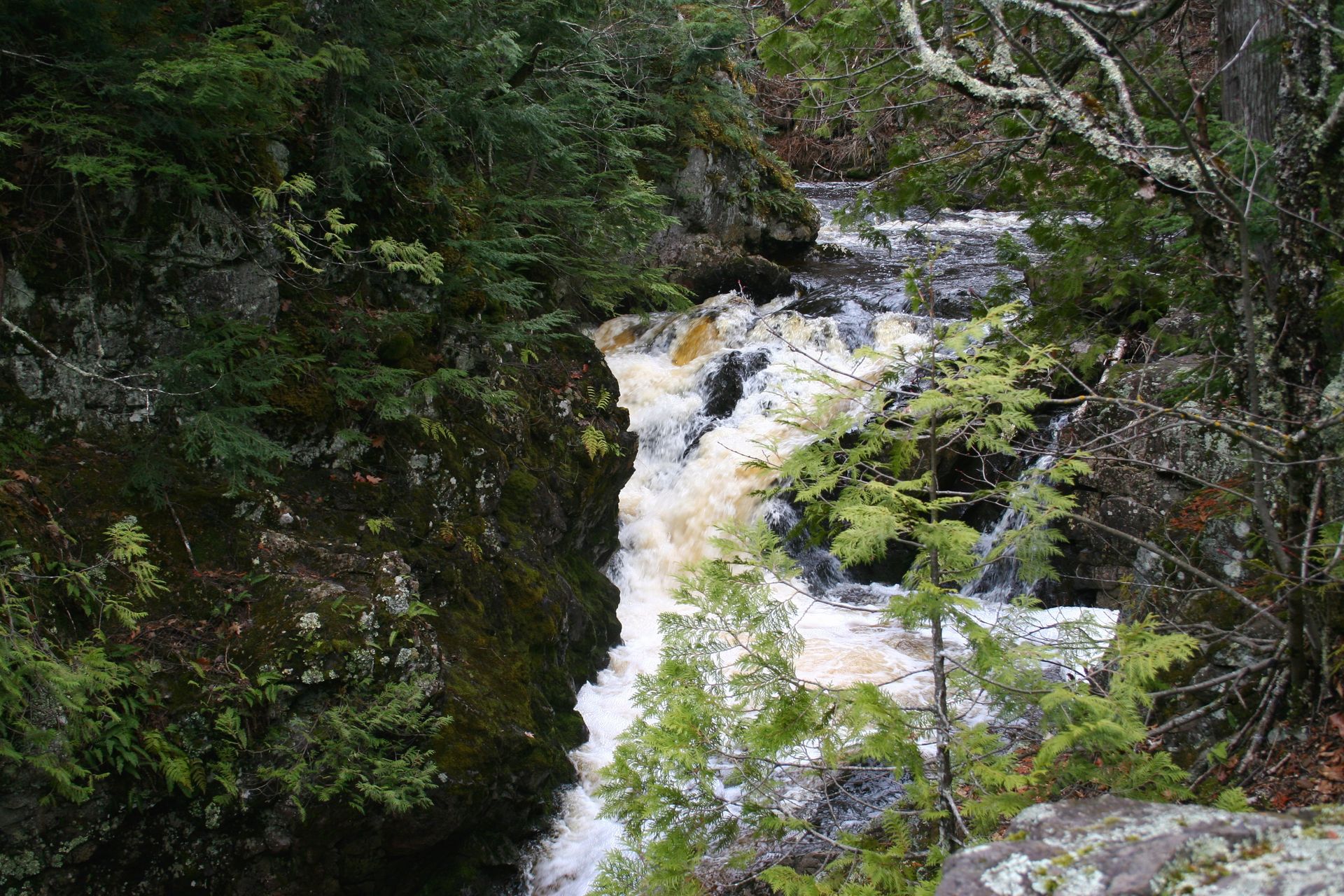
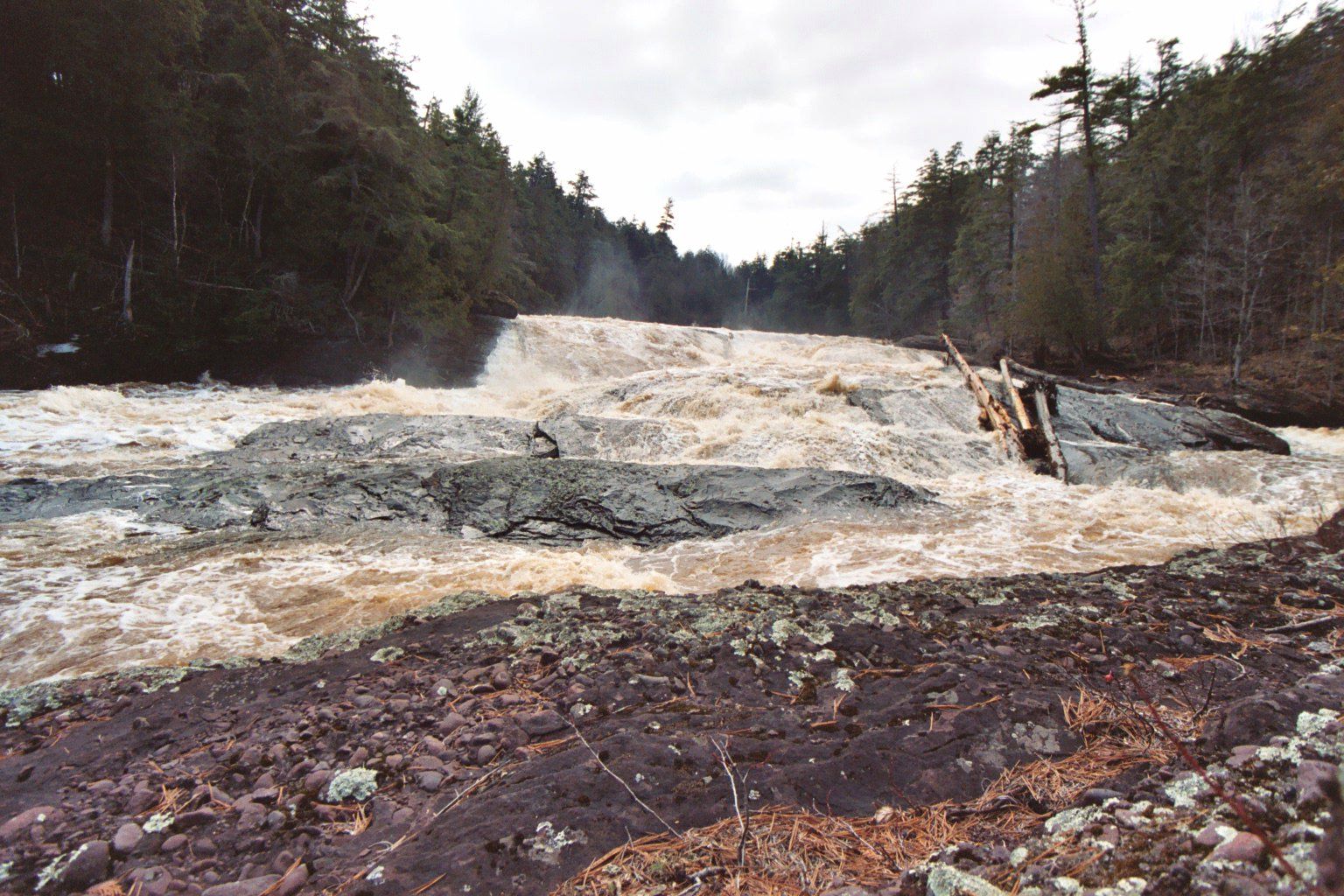
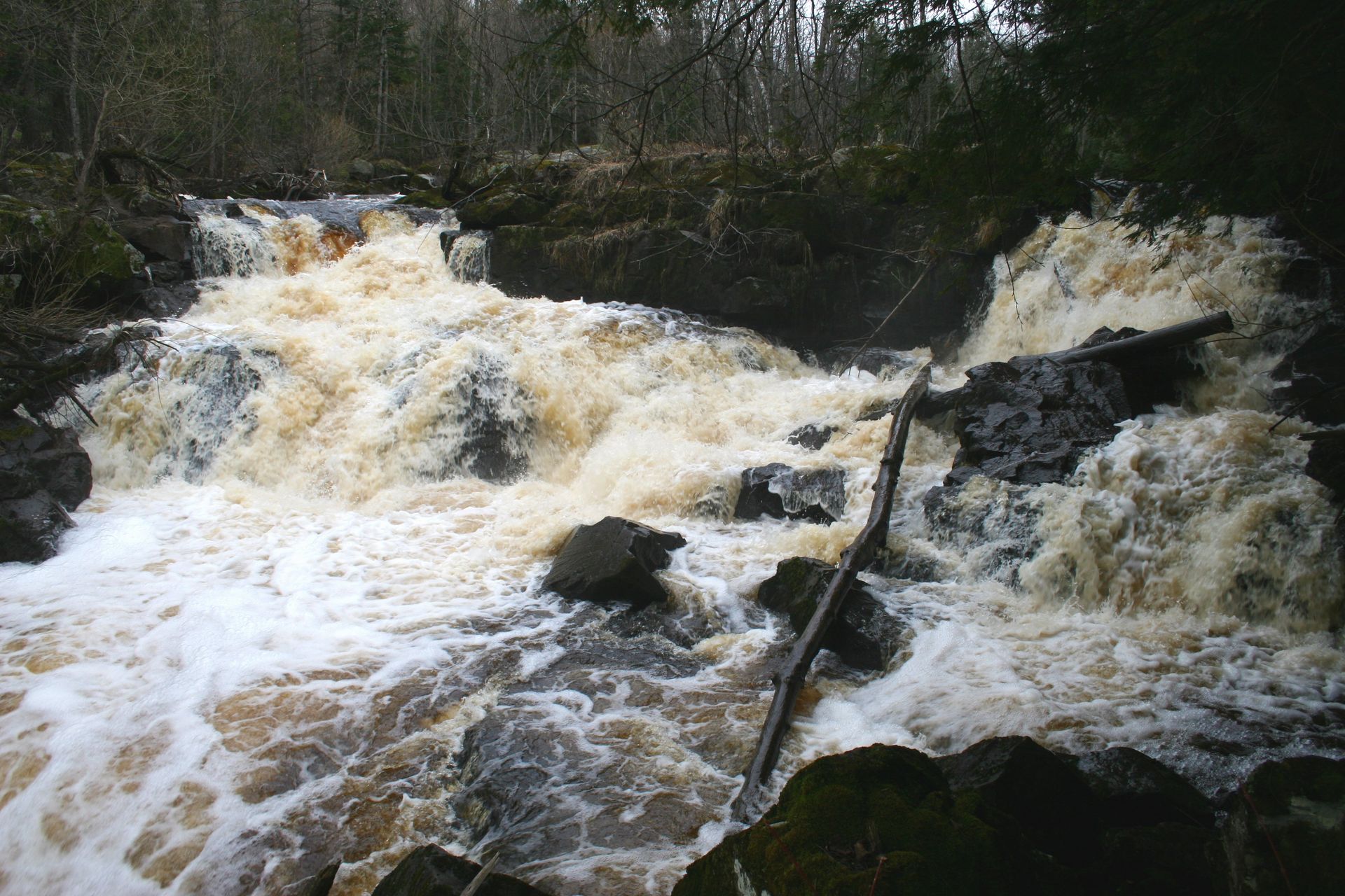
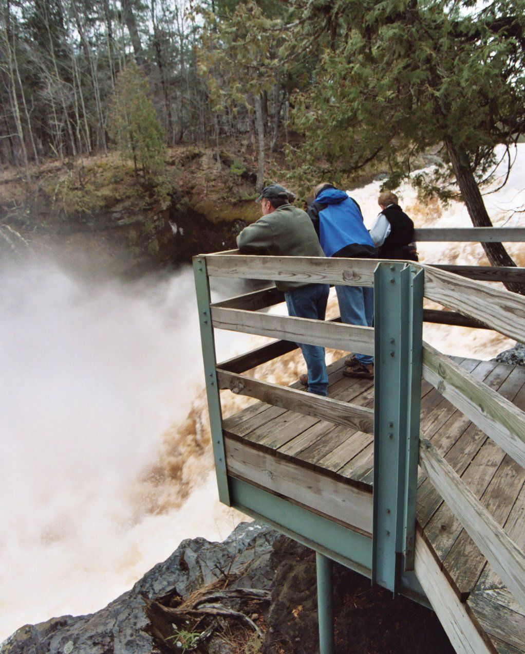
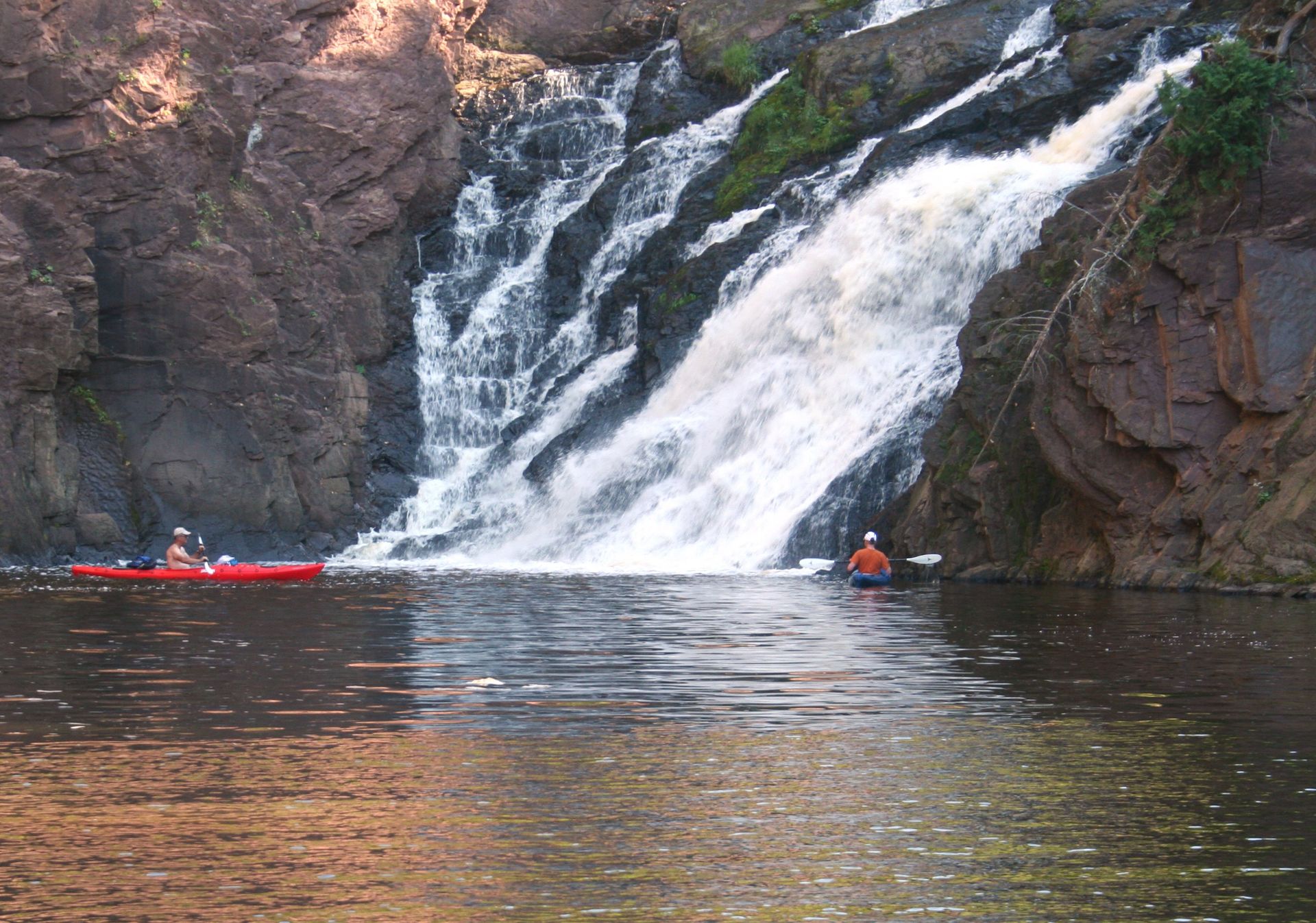
The waterfalls of the U.P. change with the seasons... The cold of winter transforms our waterfalls into enormous ice sculptures. If you listen carefully, you can still hear the water flowing underneath. Spring snow melt raises river levels in excess of 6 feet and the roar of the water can be heard 1/2 mile away. Dry summers tame the rivers into gentle creeks. In autumn, red, orange and gold leaves float downstream.
The northwestern Upper Peninsula is home to 100+ fantastic waterfalls. Some are easily accessible. Others require you to put some leg muscle into it. Download any of the guides above for more details. Some highlights are featured below.
The northwestern Upper Peninsula is home to 100+ fantastic waterfalls. Some are easily accessible. Others require you to put some leg muscle into it. Download any of the guides above for more details. Some highlights are featured below.
Black River
Black River Waterfalls are all accessed off County Road 513 on the west side of the river, a beautiful 20 minute drive from the Bluffs Inn.
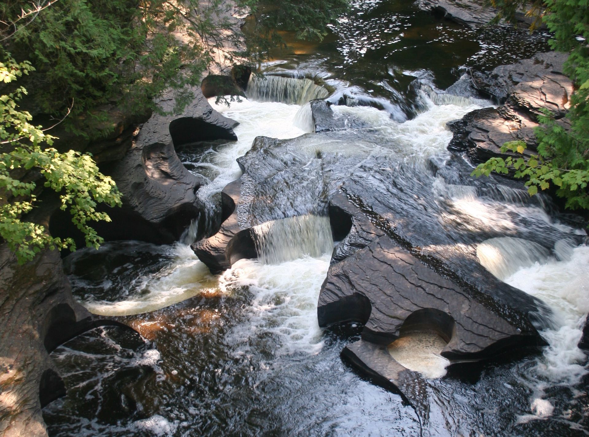
Great Conglomerate Falls
3/4 mile trail. Wide falls passing around a large conglomerate rock formation. Fairly easy walking.
Potawatomi Falls
1/8 mile trail. Barrier free access. Shares parking area with Gorge Falls. Easy walking.
Gorge Falls
1/8 mile trail. Rocky canyon with 34 foot drop. Easy walking.
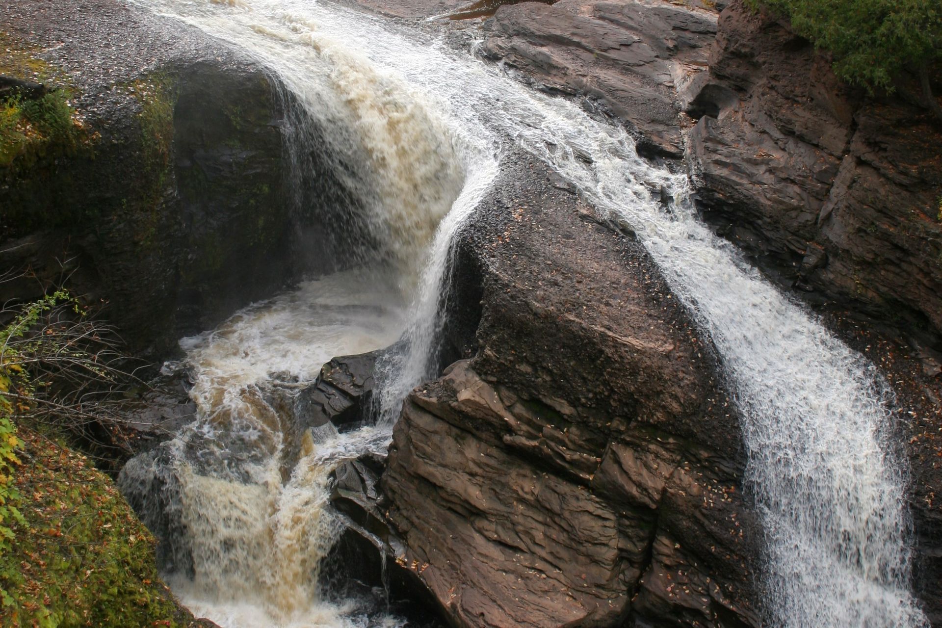
Sandstone Falls
1/2 mile trail. River makes many short drops, flowing around sandstone and conglomerate. Fairly easy walking.
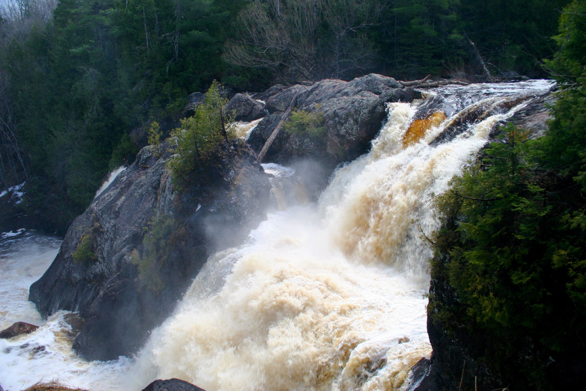
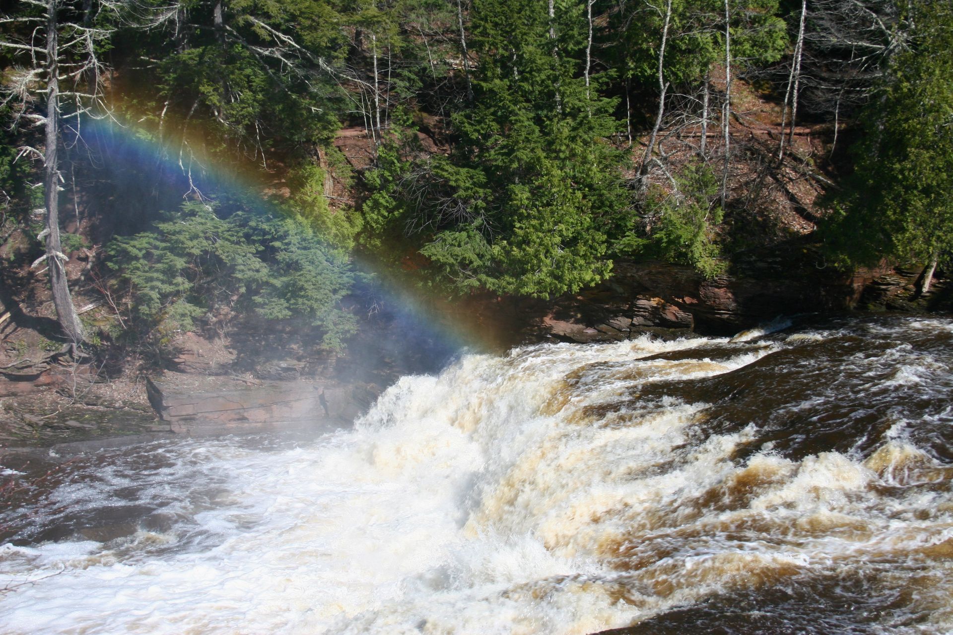
Rainbow Falls
1/2 mile trail. Spring photo above right. Fairly difficult (almost all stairs). Rainbow Falls can also be accessed on the east side of the river by a 1 mile trail with fairly easy walking for a better view.
Great Conglomerate Falls
3/4 mile trail. Wide falls passing around a large conglomerate rock formation. Fairly easy walking.
Potawatomi Falls
1/8 mile trail. Barrier free access. Shares parking area with Gorge Falls. Easy walking.
Gorge Falls
1/8 mile trail. Rocky canyon with 34 foot drop. Easy walking.
Sandstone Falls
1/2 mile trail. River makes many short drops, flowing around sandstone and conglomerate. Fairly easy walking.
Rainbow Falls
1/2 mile trail. Spring photo above right. Fairly difficult (almost all stairs). Rainbow Falls can also be accessed on the east side of the river by a 1 mile trail with fairly easy walking for a better view.
Montreal River
The Montreal River runs along the border between Michigan and Wisconsin. The shoreline at the mouth is the western most part of the State of Michigan.
Superior Falls
Located near the mouth of the Montreal River. 1/4 mile trail to top viewing (fairly easy walking). 1/2 mile trail to the base. (fairly difficult walking... steep descent). Falls empty into a huge gorge. Trail at the base passes by Lake Superior shoreline and winds with the river to the falls.
Further inland, Interstate Falls and Peterson Falls are accessed off Highway 2 less than a mile west of Highway 51.
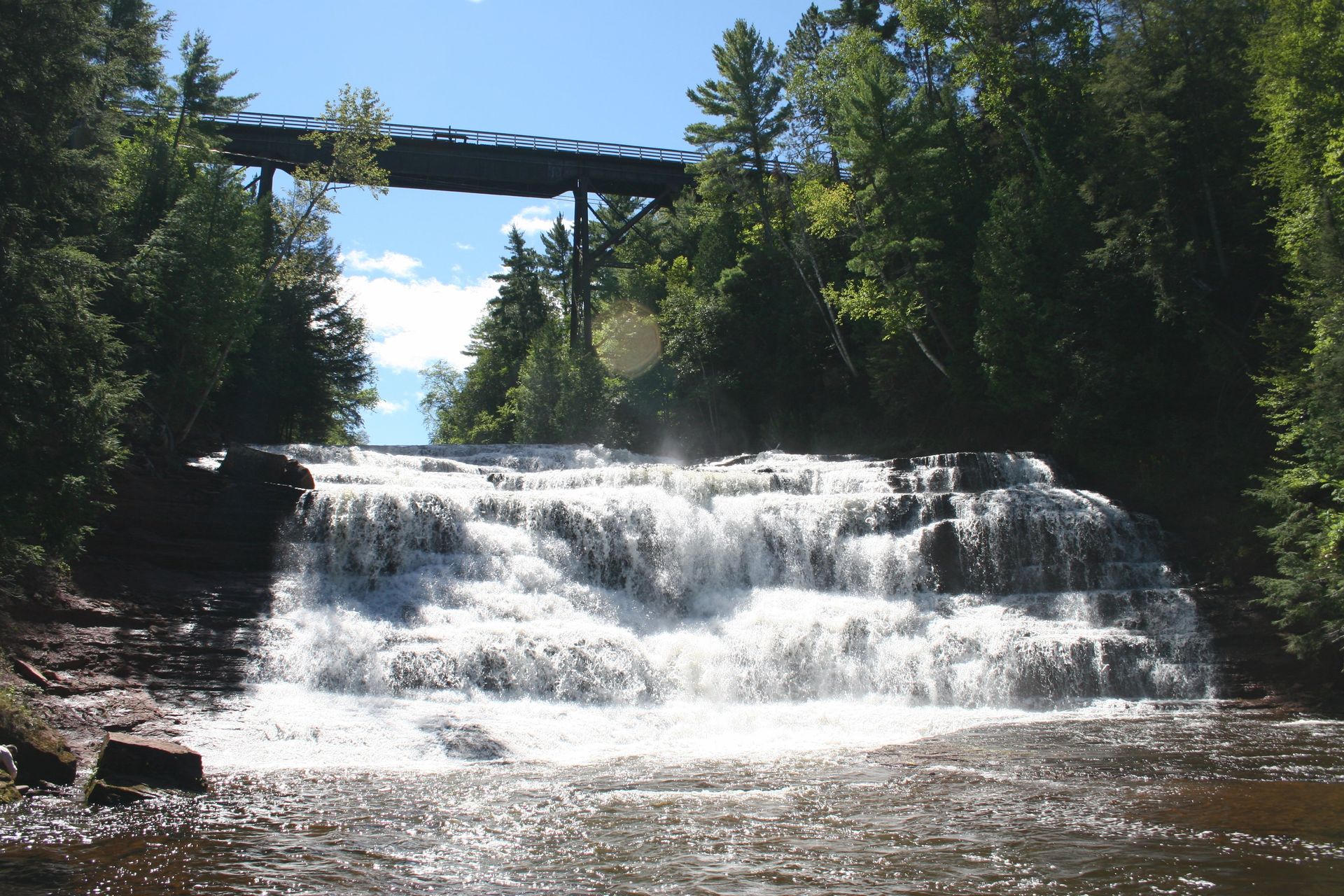
Porcupine Mountains
Approximately 90 waterfalls are located in the Porcupine Mountains Wilderness area. The most easily viewed falls are on the Presque Isle River at the west end of the park.
Manabezho, Manido & Nawadaha Falls
These Presque Isle River waterfalls are at the end of County Road 519 within the park boundaries. A wood boardwalk follows the river by the best viewing areas.
Other well known falls within the park include Greenstone Falls, Trap Falls, Overlooked Falls, Trapper's Falls, Trader's Falls and Shining Cloud Falls. The park map provides additional information about these and other waterfalls within the park.